Intro Copy

Historic Rainfall in the South and Midwest: What’s the Climate Change Connection?
Date
The National Weather Service has been sounding the alarm for days of a potentially ‘historic’ rainfall through this weekend for parts of the Mid-South into the Ohio River Valley region. Rain totals may top a foot in some locations. With soils already becoming saturated, flash and river flooding will become increasingly likely. Little Rock, Memphis, Louisville, and Cincinnati are just a few of the cities expected to be impacted.
So what’s to blame? A stalled front, a series of weather disturbances, and an extraordinarily moist atmosphere will lead to repeated thunderstorms producing heavy rainfall over the same areas over the next few days. Parts of this same region were hit by violent tornadoes and severe thunderstorms on Wednesday.
How might this event be related to a changing climate? As the world continues to warm the Earth’s atmosphere is holding more water vapor. And when storm systems come along, they are able to tap into that added moisture and produce prolific rain like what we’re seeing in this event.
The current configuration of a rather wavy jet stream is contributing to the front stalling over the Mid-South and Lower Ohio Valley. With nothing to push it out of the area for a few days, the rain keeps piling up. Some climate scientists have found that climate change may be causing the jet stream to become wavier leading to more stagnant weather patterns and sometimes more extreme weather. This condition might continue into the future.
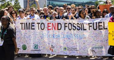
With climate change accelerating, federal climate science programs help us understand what's happening to our world and protect our families from increasing extreme weather events. Join our Stand for Science initiative to help protect the science programs that protect us all.
READ MORE
-
 February 13, 2025
Join Us for the REALITY Tour
-
 February 21, 2025
Know Your Roots: Black History in Environmental Justice
-
 December 12, 2024
2024 Was a Big Year at Climate Reality


